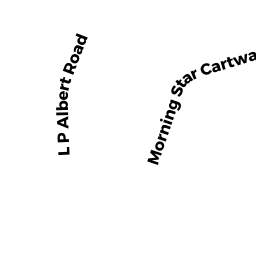
123 L P ALBERT ROAD
Owner Information
HEWITT FRANK R & SARAH H
P O BOX 1608
BREWSTER, MA 02631


Property Details
123 L P ALBERT ROAD is classified as a Single Family Residential (Cape).
The primary structure on this property was built in 2000. There are 3,064ft2 of built area within this property. There is 3,064ft2 of residential/living space within this property. This property is listed as having 6 rooms.
123 L P ALBERT ROAD is valued at $845,900. The land is valued at $245,000 and the structures are valued at $599,100. There is an additional valuation of $1,800 on this property.
This property is in Zone RR. Confirm with local Zoning Board authorities to ensure there are no overlays or other easements on this property.
123 L P ALBERT ROAD was last sold on Thursday, March 30, 2000 for $410,000.
Assessment data from fiscal year 2022.
Flood Data
According to the FEMA National Flood Hazard Layer, this property does not appear to be in a flood zone. It may also be in an area not yet reviewed. Nonetheless, confirm this information prior to taking any action.
To view the flood hazards around this property, create a FEMA "Firmette" Map of the area around 123 L P ALBERT ROAD.
Broadband Internet Providers
| Provider | Type | Bandwidth (mbps) | |
|---|---|---|---|
| GCI Communication Corp. | Satellite | 0 | 0 |
| VSAT Systems, LLC. | Satellite | 2 | 1 |
| Viasat Inc | Satellite | 35 | 3 |
| Verizon New England Inc. | DSL | 10 | 1 |
| Comcast | Cable | 1000 | 35 |
| HughesNet | Satellite | 25 | 3 |
Broadband service provider data from December 2020.
Adjacent Properties
- 70 HILARYS CARTWAY
Single Family Residential owned by STRUNK BRUCE R & LAURA J - 73 MORNING STAR CARTWAY
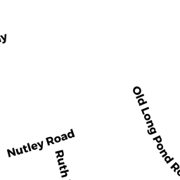
Single Family Residential owned by MOORE BRIAN F & KELLY C - 0 OLD LONG POND ROAD
Developable Residential Land owned by WHEELER MARY JANE (LIFE EST) - 0 L P ALBERT ROAD
Developable Residential Land owned by MACOMBER BRADLEY A & BARBARA V